• Welcome, Guest! We hope you enjoy the excellent technical knowledge, event information and discussions that the BMW MOA forum provides. Some forum content will be hidden from you if you remain logged out. If you want to view all content, please click the 'Log in' button above and enter your BMW MOA username and password.

    If you are not an MOA member, why not take the time to join the club, so you can enjoy posting on the forum, the BMW Owners News magazine, and all of the discounts and benefits the BMW MOA offers?

Everything I learned riding the Dalton (Haul Road) up to Deadhorse/Prudhoe Bay

drneo66

Well-known member
I stand on the shoulder of giant here (yet again). Thank you everyone who has posted info over the last many years. I spent 6 years waiting to complete this trip (previous ride report attached) and I'll eventually get around to writing up a ride report about my Iron Butt Association Ultimate Coast to Coast.

If you haven't read the “Haul Road Primer part 1 and 2” by Alcan Rider on ADVRider, you should - he does a better job than I ever will. I'd also find a copy of “The Milepost” - it's a great resource too.

I chose to do this trip solo, but met quite a few individuals who were riding up or back to Alaska and the Haul Road. I urge you to take the time and chat with other riders, I was able to glean a good amount of info from everyone I talked to.

Route:
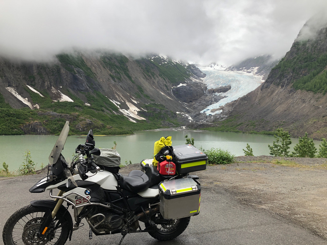
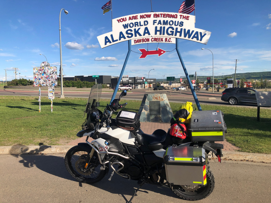
I rode up to Alaska via the Alaska Highway and down the Cassiar Highway. Other than seeing the glaciers outside of Hyder/Stewart, I thought the Alaska highway was more scenic with more animal encounters.
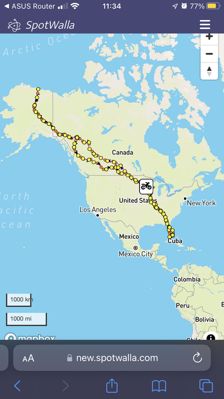

IMG-4089.png
 
Bike decisions:

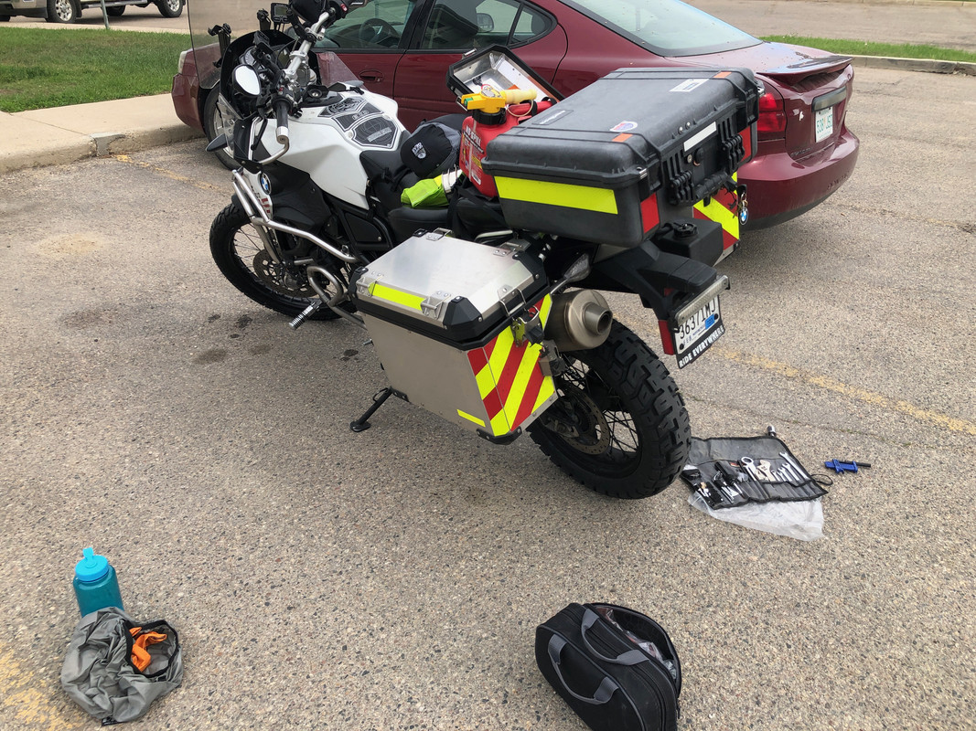
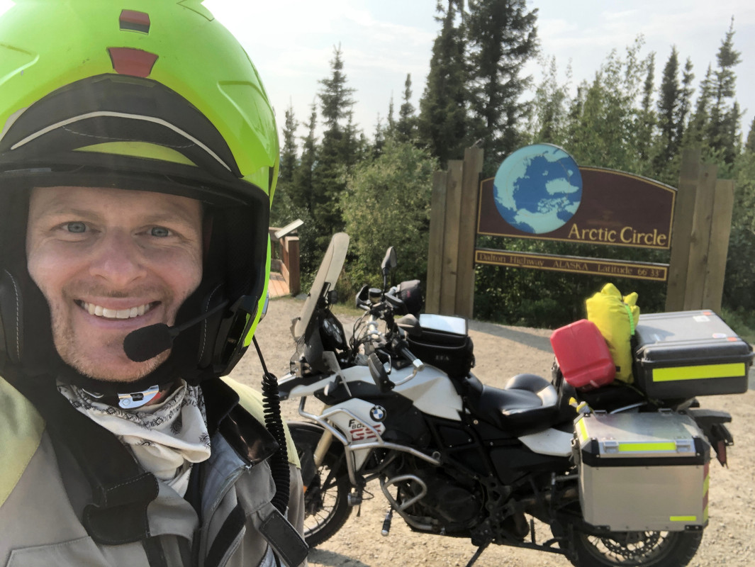
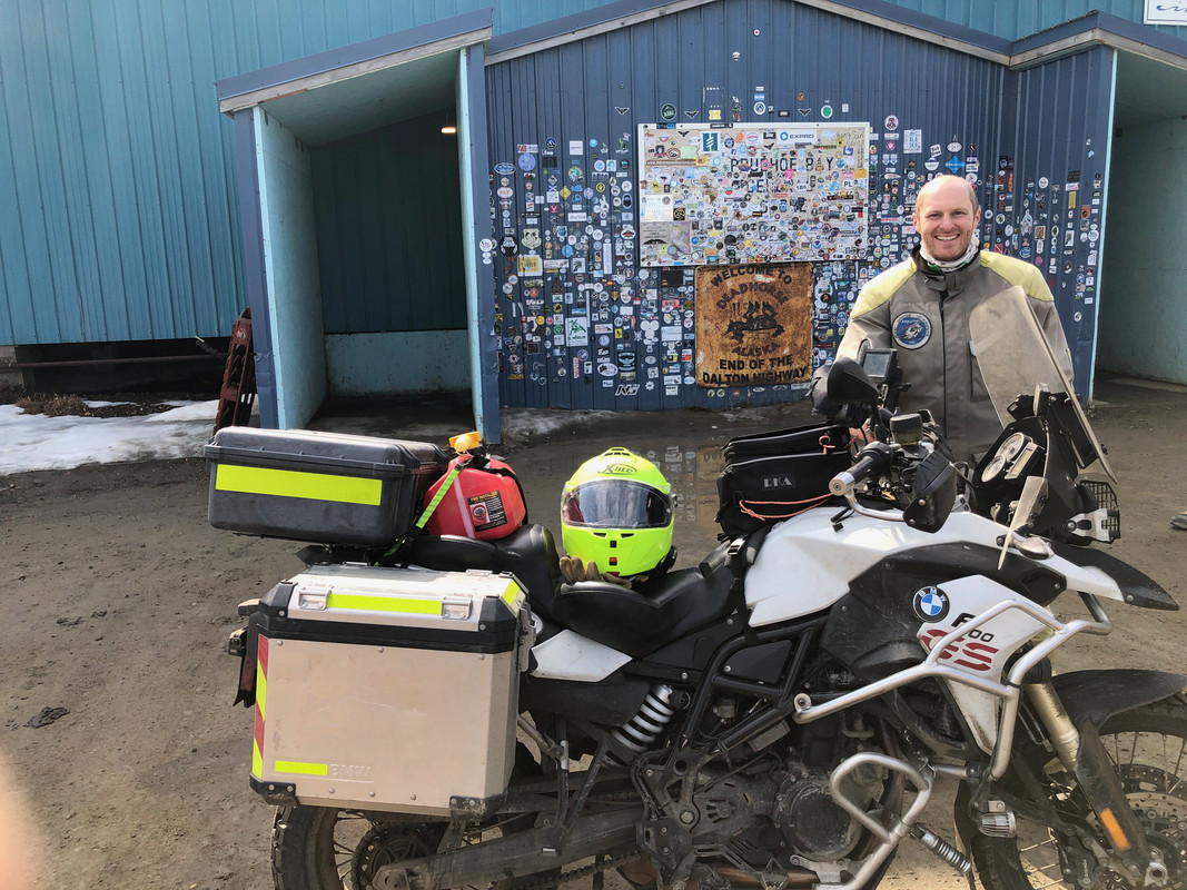
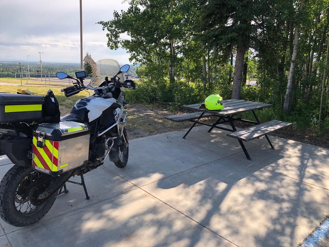
I've seen plenty of pictures of full-dresser Harley's and Goldwings that have made the trip. I don't think I'm that good of a rider, so I chose a BMW F800GS with a 7.5L aux Camel Tank and a separate 1.25 gallon gas can strapped on the back. I had done quite a bit to this bike to prepare it for what I thought may lay ahead (see build here). I wanted to maximize my chances of making it without problems or injury, so IMHO, a smaller (500-900cc's) adventure bike is probably the best bike for this trip. You ride your own ride.

I chose to change tires in Minnesota and keep them on for the whole trip. I went with a Dunlop Trailmax Mission for the front tire and a Motoz Tractionator GPS tire for the rear. Both had plenty of life left upon returning home. I think both were appropriate for the gravel and tar that I experienced on this ride. I'm not sure there's anything (outside of a true off-road knobby) that can deal with the greasy road when the Dalton is wet.

Library-1-of-26.jpg


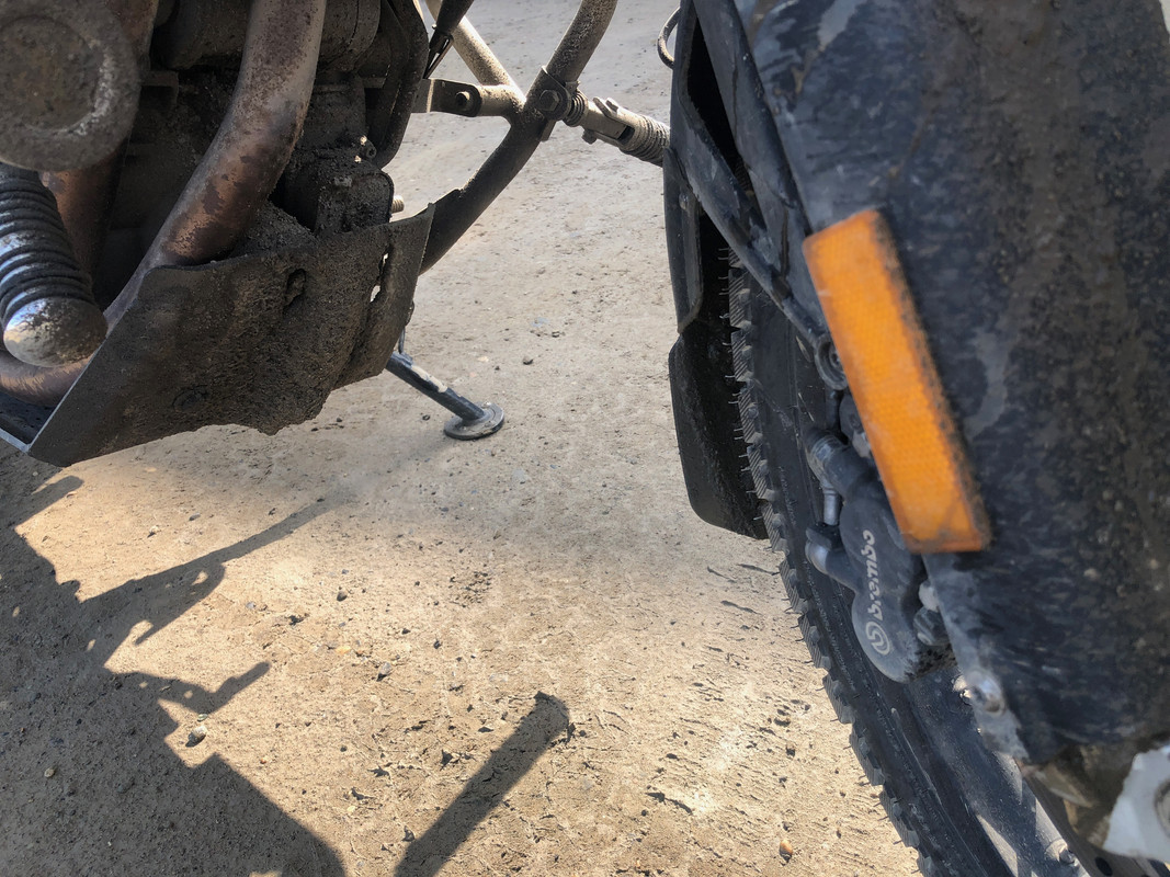
Even with a front fender extender, you'll still take some road with you (this was at the half way point in Prudhoe Bay)
Library-20-of-26.jpg
 
Weather window:
I decided to leave in mid-June and was lucky to have a perfect weather window. I had rain for two 8-hour portions of a riding day during my my whole trip. I doubt it's ever this perfect. The mosquitoes were out in full-force, but it was still cold in many areas (down to 40 degrees in Prudhoe) and I briefly saw the upper 30's on the Icefield parkway. I had 90+ degrees on the way back home for a day.

Library-12-of-26.jpg


Library-2-of-26.jpg
 
Packing decisions:
As noted above, prepare for both extremes. I wore an Aerostich R3 1-piece Roadcrafter. I had several pairs of pants and shorts, short sleeve and long sleeve shirts, unders, baseball and stocking hats, one merino wool neck tube/buff, and one no-insect neck tube/buff (that would come in handy when stopped for construction, as any gap in your riding gear will be easily found by 100,000 mosquitoes quickly), sweatshirt, my heated Aerostich vest (don't leave home without one, seriously), 2 different gloves (elkskin ropers and mesh) with the Aerostich waterproof overmitts, a light running jacket, pair of walking shoes, and merino wool socks. The only thing I wish I would have also packed was a set of long underwear, but I was able to easily find a set Canadian Tire in Whitehorse. I tried to keep most of this to 2-3 sets of each, to keep down on weight, but I did have to do laundry twice over the 15 days I was gone. I belive the lower weight and packing space saved was worth it for this minor inconvenience.

I also carried a Garmin inReach device that would allow for my family to track me throughout the trip while also being able to use 2-way messaging and SOS capabilities in an emergency.

Library-25-of-26.jpg
 
Bike tools:
I carried an F800-specific bike repair kit from Cruz Tools.
In addition I also brought along: Motionpro chain slack tool, Motionpro PBR chain breaker, 4ft section of small, clear hose (in case I needed to siphon gas), BestRest tire changing kit and two spoon-style tire levers, one spare tube for the front 21” wheel, one spare tube for the rear 17” wheel (I was told that neither tube would work in the opposite wheel, both tubes were in their original box, then vacuum sealed in a plastic bag to prevent wear and tear), small multimeter, spare fuses for my fuseblock (the bike has a CANbus system), rubber gloves, BestRest tire inflator, stick tire gauge, first aid kit with extra bandaids plus a Israeli field bandage, emergency space blanket, Leatherman multitool, 20ft of paracord, tube of loctite, tube of JB weld 2-part metal epoxy, tube of super glue, and a bike cover.

Library-1-of-1.jpg
 
Roof over my head:

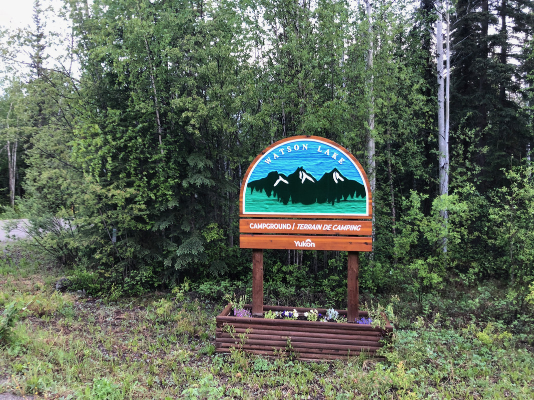
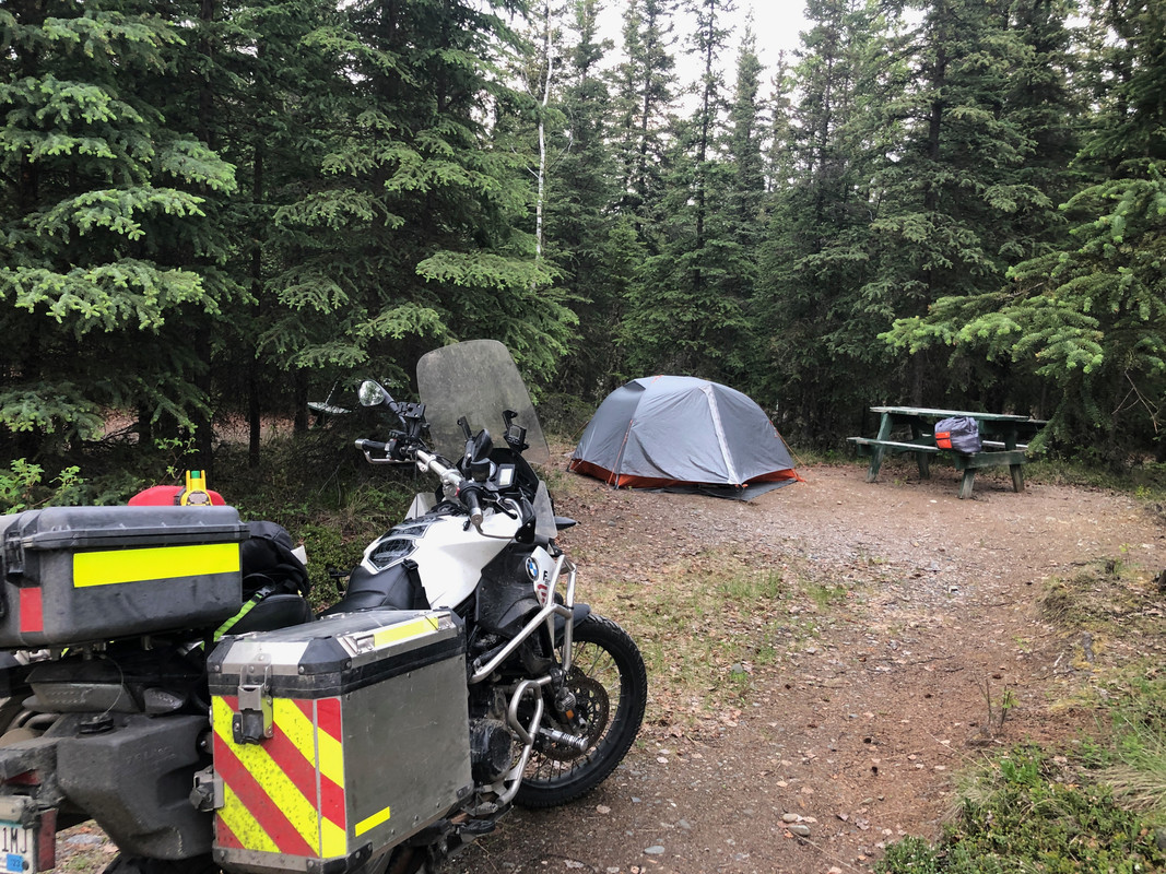
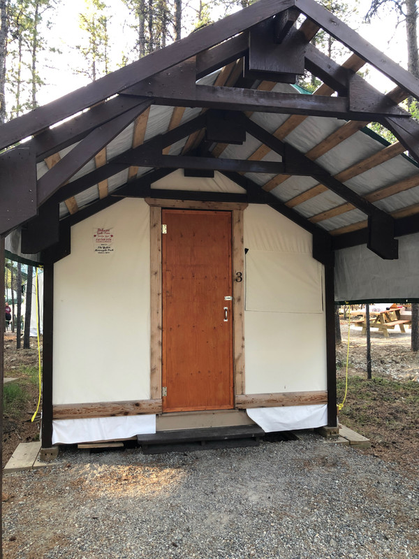
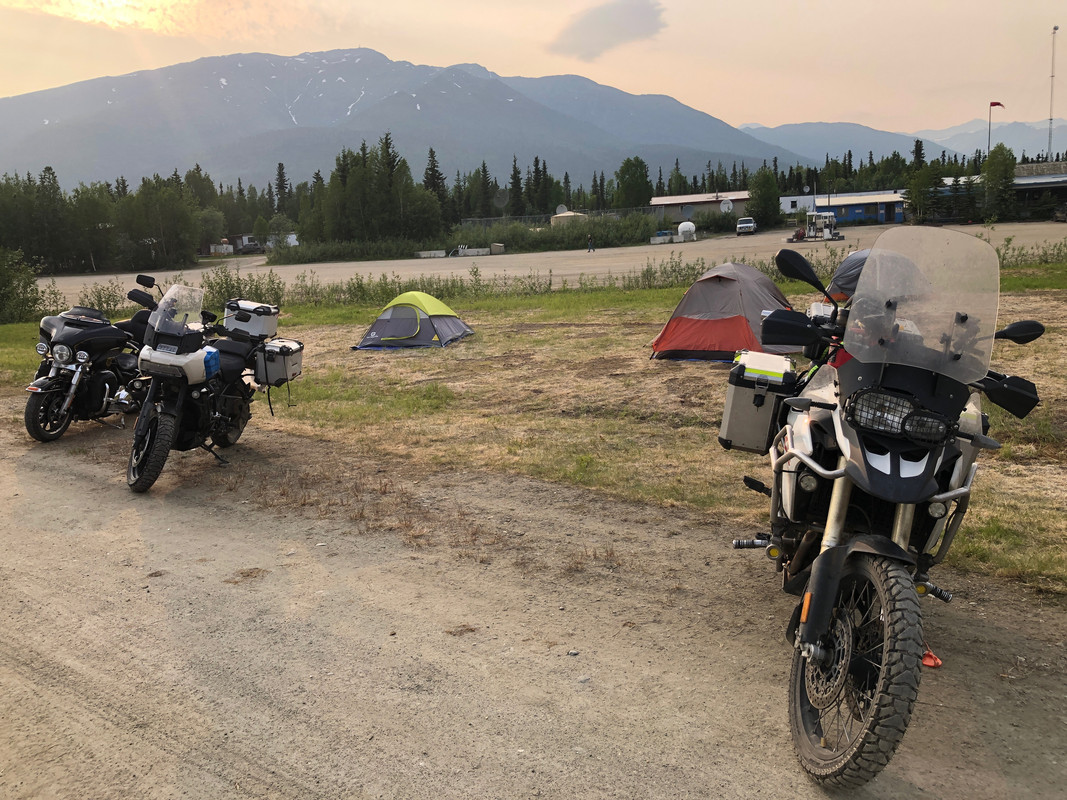
I found that hotels booked the same day via Priceline were very reasonable ($60-75 Canadian) throughout Canada, so I did sometimes opt to do that over tenting (which was generally $20-35 Can). I stayed at the Watson Lake campground which is west of town, the Sourdough Campground in Tok (their cafe wasn't open due to the building collapsing because of the excessive snow they received in the winter), Dease Lake provincial park, and the Yukon Motorcycle Campground in Whitehorse. All were wonderful.

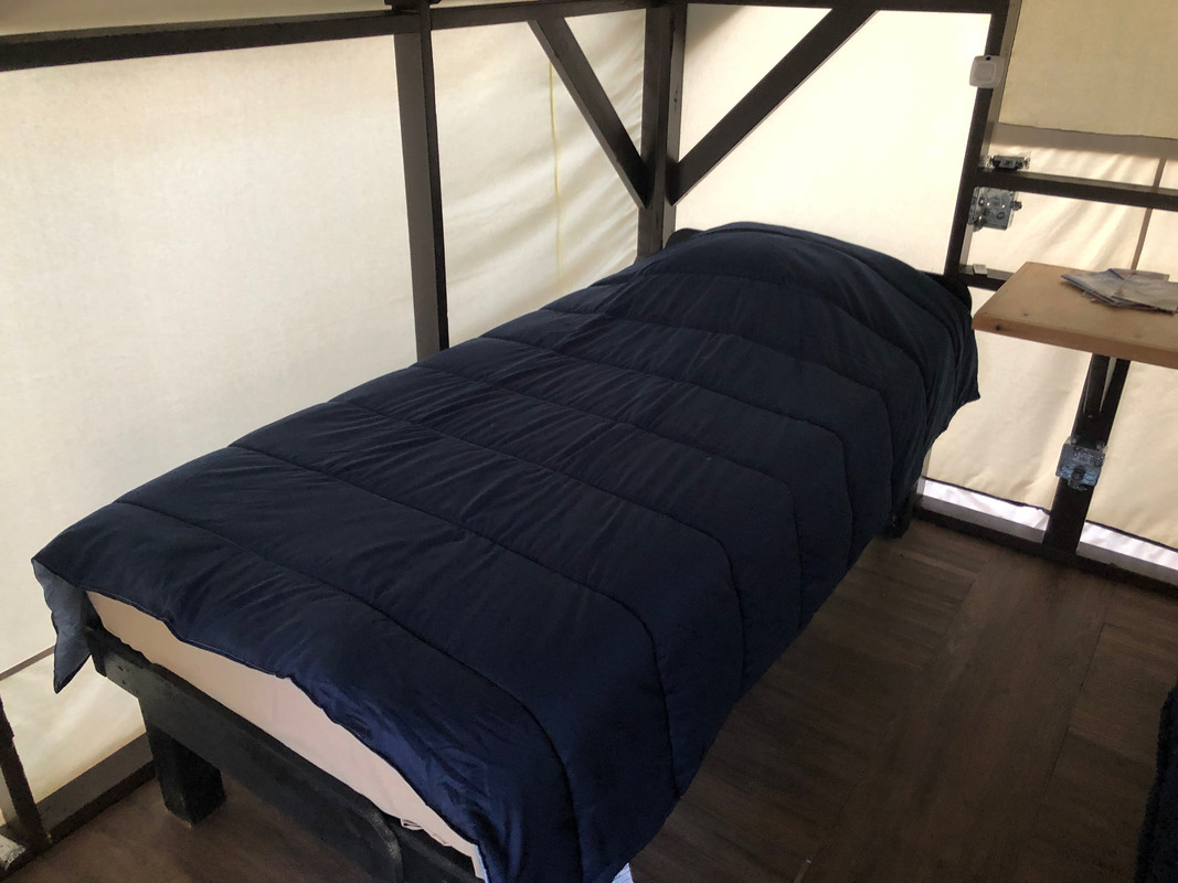
Rooms on the Dalton are expensive, as it's supply/demand. I camped in Coldfoot on the way up/down, which was free, but the showers were $14 (totally worth it). I did get a hotel in Fairbanks too, but that was not ideal (expensive and the place should be closed/condemned, PM me and I'll tell you where not to stay).

Library-8-of-26.jpg


Library-10-of-26.jpg


Library-23-of-26.jpg


Library-24-of-26.jpg
 
My Dalton decision: I road from Tok up to Coldfoot in one day, stopping in Fairbanks at The Crepery (yum!) for lunch. I camped at Colfoot that night, then enjoyed the breakfast buffet the next morning. To further lighten my load, I chose to leave my tent, sleeping bag, and extra clothes set up in Coldfoot . Then, made the quick dash up to Prudhoe and back the same day. I asked about leaving my tent and the guy in the cafe said I could, but I would do it at my own risk. I left a note inside my tent just in case I didn't make it back in a timely manner. My bail-out plan was to stay in Prudhoe Bay at one of the hotels if I didn't have the energy to make it back to Coldfoot. I left around 6:00am in the morning and made it back to Coldfoot by about 8:15pm. The near-endless daylight really messes with your head :)
Again, you ride your own ride.

Library-16-of-26.jpg
 
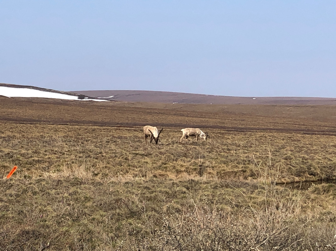
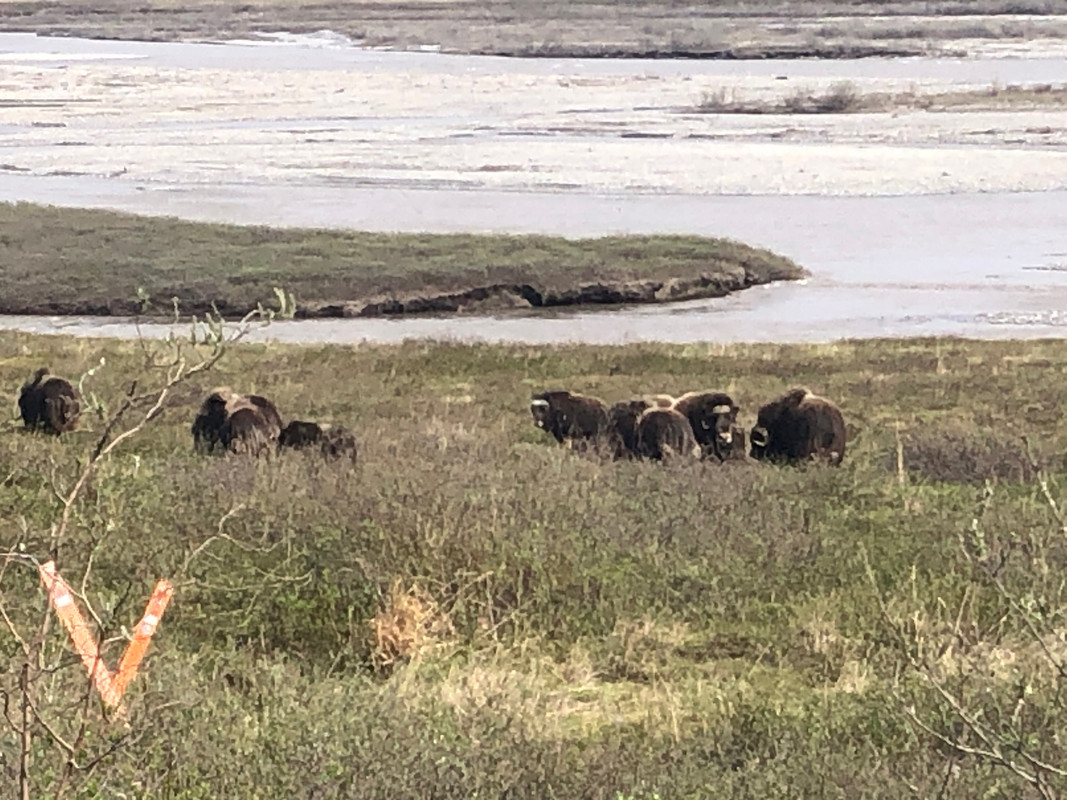
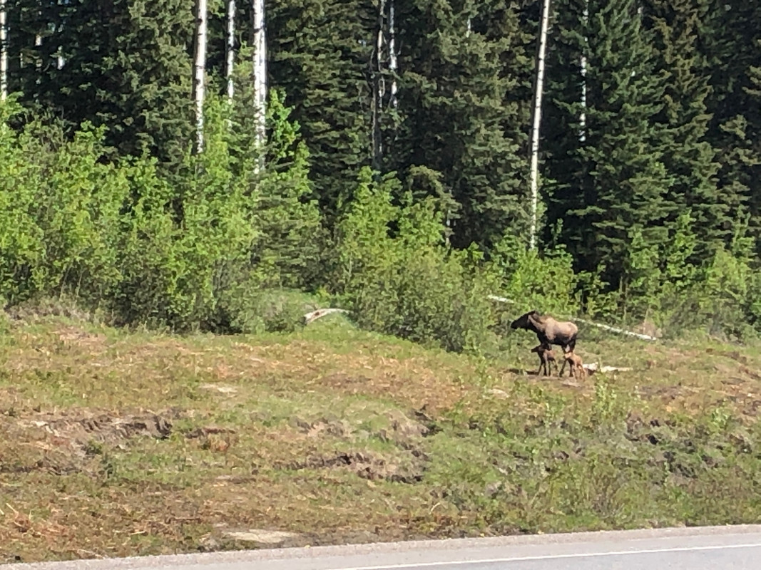
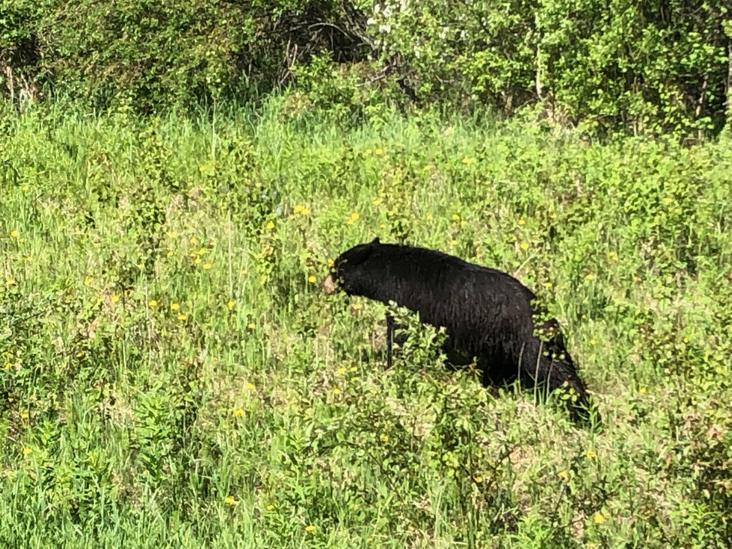
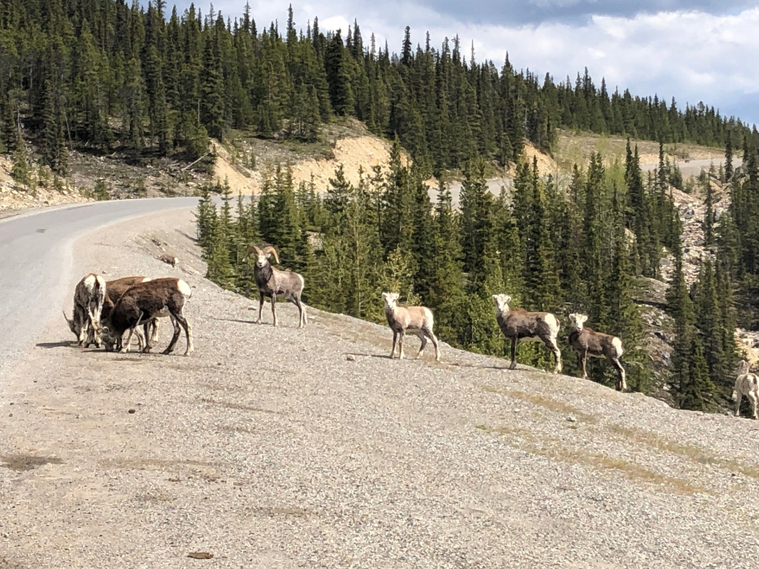
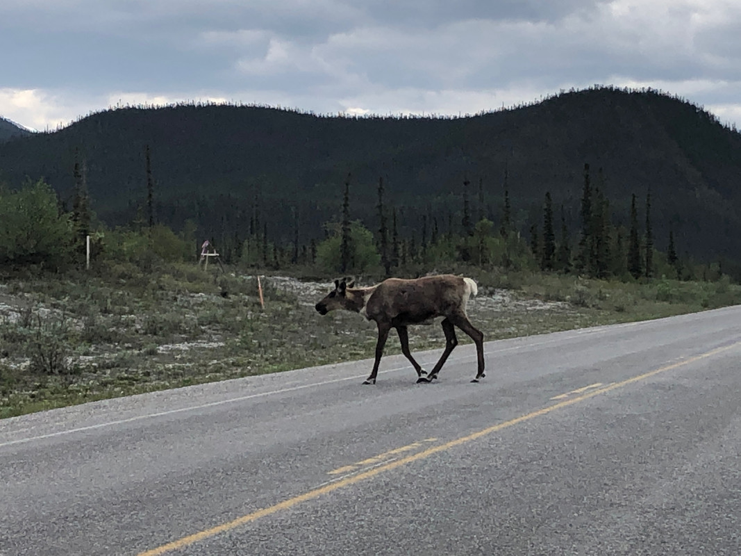
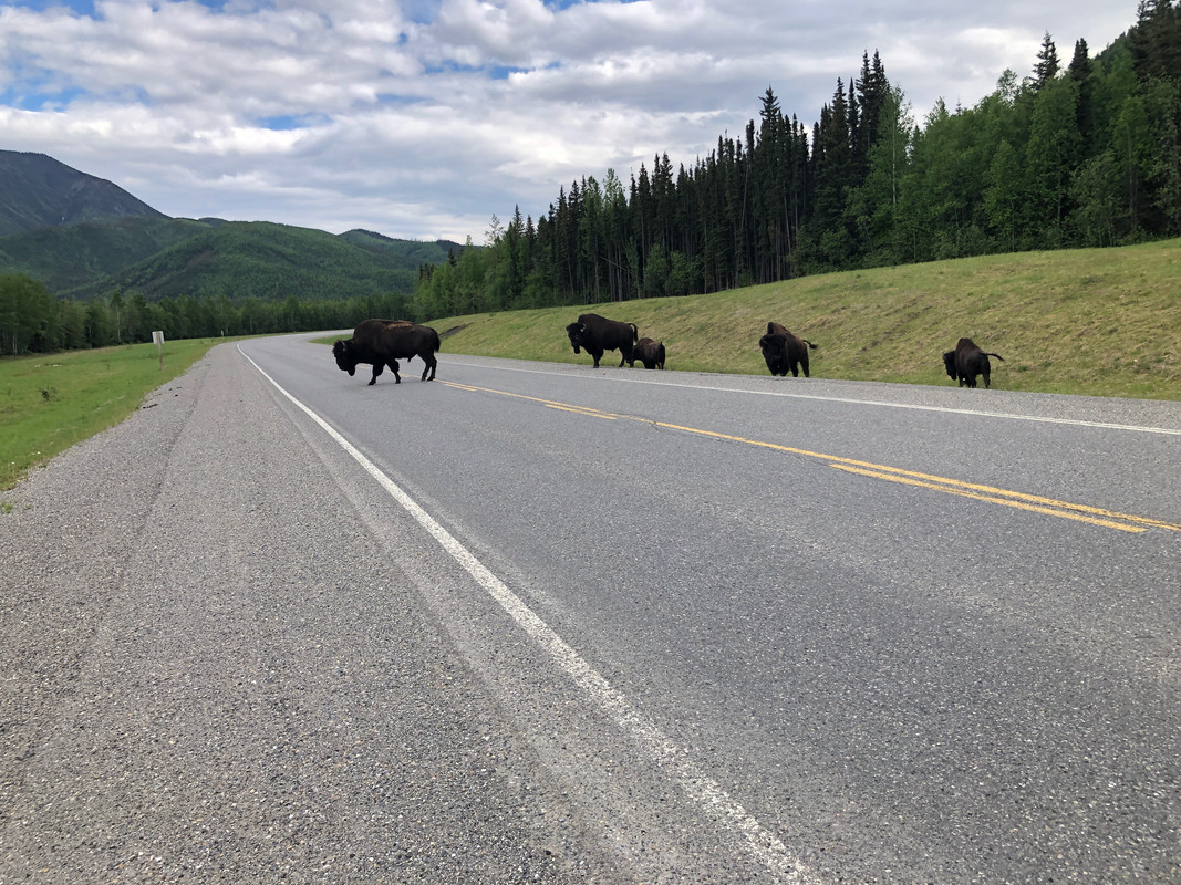
Animals: I found the Alaska Highway to be rife with animals, it seemed like every time I saw an animal crossing sign, there would be some animal not that far away from it. Black bears, sheep, deer, plenty of moose, caribou, elk, porcupine, etc. were all plentiful. I kept my speed at about the posted limit to prevent getting up and close with one of these animals. The Cassiar highway had a much lower animal presence, but that may be due to the fact that it was raining, and that they do not cut back the vegetation nearly as far.


Library-17-of-26.jpg


Library-21-of-26.jpg


Library-3-of-26.jpg


Library-4-of-26.jpg


Library-5-of-26.jpg


Library-6-of-26.jpg


Library-7-of-26.jpg
 
Road conditions:
“The only thing permanent in this world is change” - the road conditions on this trip were a good example of this.

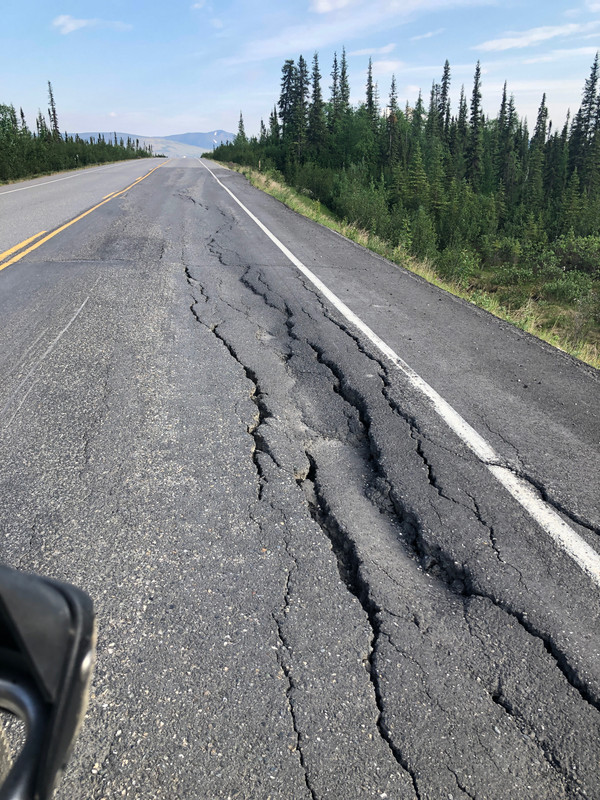
Alaska highway: I thought most of the road from Dawson Creek was in decent shape. I did have several sections that were recently chip-sealed and a section that was torn down to gravel. Both were well maintained and I was easily able to go the 50/70kph construction speed limit The paved road does deteriorate in the last 50-75 miles from the Alaska border on the Canada side, and it is also in pretty rough shape the other way, from past Tok, AK to the Canadian boarder. The Canadians do a much better job of letting you know that a section is either cut out, or that there is poor pavement ahead. Watch closely for those little orange flags near the side of the road!! The road from Tok to Fairbanks is well-traveled and in decent shape (remember I'm from MN, so potholes and cracked roads are the norm)

Library-4-of-4.jpg


Leaving Fairbanks: Fair to poor road conditions. I found that many times the road would be paved going up a hill, paved at the crest of the hill, and then immediately turn to gravel without warning going down the other side. I decided to slow down and take my time for the 80 or so miles that it takes to get to the start of the Dalton.

Library-14-of-26.jpg


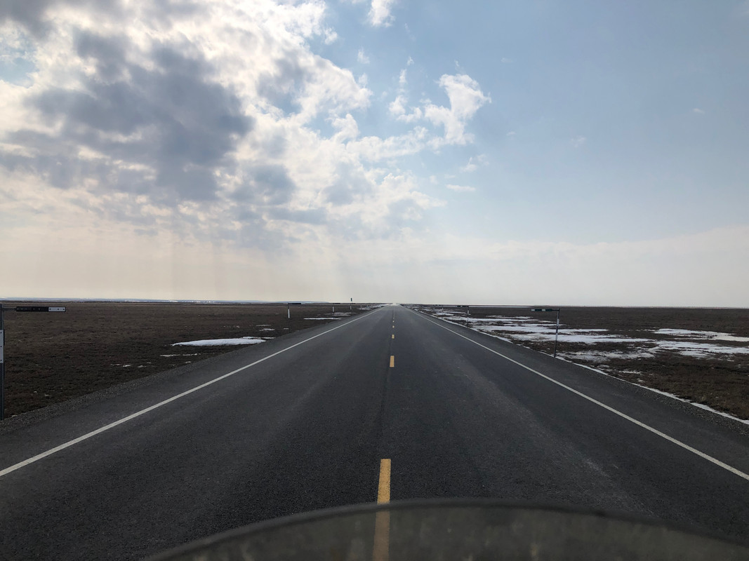
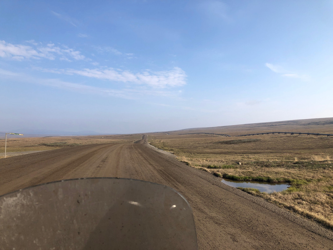
The Dalton has one gravel section at the start, pavement around the Coldfoot area (after you cross the Artic Circle), and then gravel for quite a distance. SPOILER ALERT: Finally, because it was paved in 2021, you will encounter the BEST, SMOOTHEST asphalt in all of Alaska for the final 50 miles into Prudhoe Bay. Unfortunately, with the heavy truck traffic, I doubt it will stay this nice for that long. You get back to gravel streets when you get into the town.

Library-2-of-4.jpg


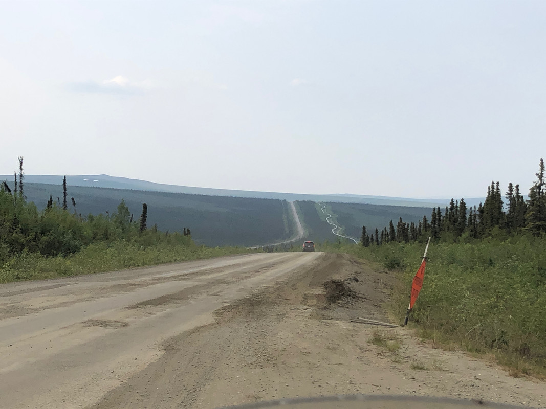
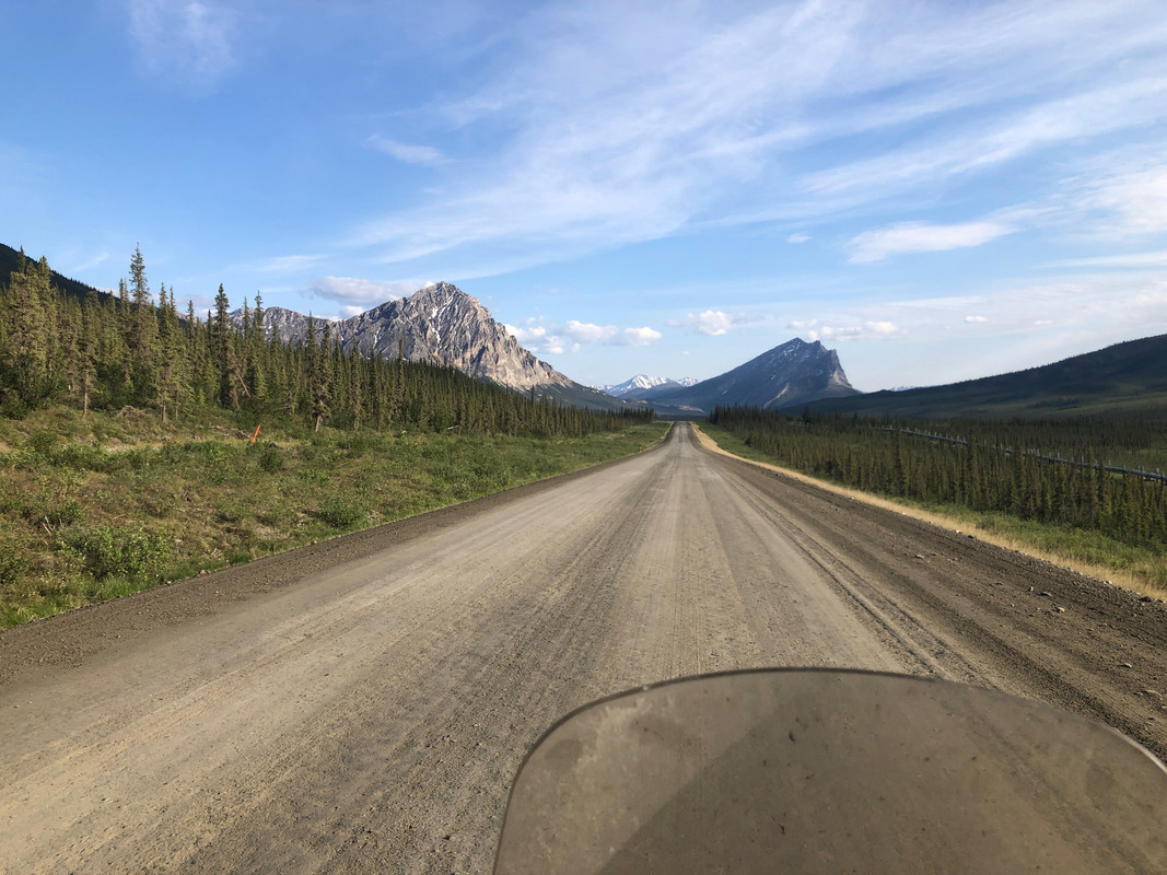
Dalton gravel: Just as everyone has stated 100's of times before: When the graders have come by and after the water has dried, the road has great traction and is fairly smooth. I was able to ride 35-40mph in most of these sections,. I did have a lot of washboard sections that I slowed down for to 25-35 mph. I probably could have gone faster, but I didn't want to chance the increase risk for the small time savings.

Library-1-of-4.jpg


When the road is wet, it suuuuuuccckkks; it's like riding on grease. There were a couple times were I encountered freshly-watered roads, once was going through construction and the other was coming down Antigan pass. Both times I was riding in first gear, following in the tire tracks of a couple semitrucks. The best advice I can say, is if it's going to rain at all for any length of time – DO NOT RIDE AT THAT TIME – plan your trip so you can wait it out. I chatted for 15 minutes with a couple bicyclists at a rest stop after Antian pass and let the road dry a bit before going further. Easily worth the extra time.

Library-3-of-4.jpg
 
Trucks: For each and every truck – maybe 50 total? - I chose to slow way down to 10 mph or less and also move over as far as I could. I only had one truck that didn't also slow down to speeds below 20-30mph as a courtesy. The one truck that didn't slow down was using momentum to get up the next hill, so I can't blame him too much. If a truck was approaching me from behind, I would indicate that I was going to move over and found an appropriate spot to either let him pass by going very slow, or stopping all together. Please remember that these guys and gals are out there working, and we are just there having fun, so give them a wide berth and don't ruin it for others.

Cellphone service: I have Tmobile/Sprint. To be expected, I had fairly spotty service throughout the Alaska highway, but had LTE in every town. Prior to that, I had solid LTE service throughout Canada. From Fairbanks I had okay service until I hit the Dalton start, then nothing until Coldfoot. Surprisingly, I had service at the small research station/airport after Antigan pass, and then again at Prudhoe Bay.

On the Cassiar I had no service from the Watson Lake area until I got around the Stewart area. I wasn't too concerned as I had my Garmin inReach and there was some traffic no matter the road I was on.
 
Library-1-of-1-1.jpg


Fuel:


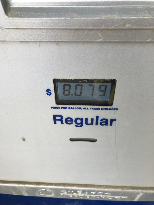
The longest stretch that I encountered without fuel was the last portion up the Dalton from Coldfoot to Deadhorse. I did fill my spare gas can, but I did not need it (as I was averaging better than 50 mpg on the Dalton since most of the speeds that I traveled at were below 40mph).


Here's a helpful list of where to get fuel along the Alaska Highway route (current as of June 2022), using OpenStreetMaps to route)


Dawson Creek 149 mi to
Pink Mountain, 148 mi to
Fort Nelson, 118 mi to
Toad River, 200 mi to
Watson Lake. 162 to
Teslin, 110 mi
Whitehorse, 110 mi
Haines Junction, 96 mi
Destruction Bay, 66 mi
Beaver Creek, 108 mi.
Tok, 107 mi
Delta Junction, 94 mi
Fairbanks, 135 mi to
Yukon River Camp 119 mi to
Coldfoot 242 mi to
Prudhoe Bay


Here's where to get fuel on the Cassiar:
Junction 37 serrvices (seasonal) - 0 mile marker (mm)
Dease Lake: 146 mm
Iskut: 197 mm
Bell II Lodge: 292.5 mm
Meziadin Junction: 349.9 mm
Kitwanga: 443.5 mm
 
Last edited:
Library-15-of-26.jpg


Dalton mile marker points of interest:


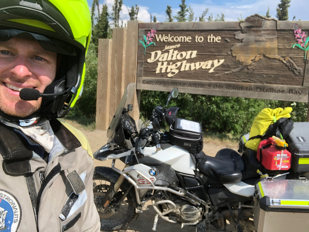
0.0 – Reset your trip meter and take a picture of the sign
25 – steep grade with corner
48 – Yukon River, bridge is wood and could be slick if wet – get fuel (need to stop inside first to give a cc/cash to start the pump, then snap a photo of how much it was, then pay)
60 – Hot Spot Cafe – they have good food, but I didn't stop
75 – Roller coaster hill – the name is for a good reaso
95 – Fingerpoint wayside
115 – Arctic Circle Sign
132- Gobblers Know wayside
150 – Greyling lake wayside
174.5 – Coldfoot and Arctic Interagency Visitor center – I enjoyed the visitor center and you should get fuel (this is where I stayed overnight on my way up/back)
180 – Marion Creek campground
188.4 – Wiseman turn off – neat place to stop and you can also stay
235 – Antigan pass wayside
242 – Antigan pass
335 – Happy Valley
410 – Prudhoe Bay
 
Riding decisions:
I took advantage of the good weather and generally rode 500-600 miles per day, stopping when I wanted to take a picture or a short break. Each night I would fully check over the bike to make sure everything was in good order. I did adjust my chain once time during the trip (the Scottoiler helped). I would also do a slow walk-around of the bike at each fuel stop. I did find that one of my fender screws was almost fully out on one of these stops. You ride your own ride.

Specifically on the Dalton, I stopped roughly every 50 miles/90 minutes to make sure everything was good with the bike. I would do a quick T-CLOC's while grabbing some water and a snack.

Library-19-of-26.jpg
 
I washed the bike in Fairbanks at the University Car-Truck wash on 3701 Cameron St. They had a credit card reader to start the washer, so I didn't have to worry about getting $10 of quarters some place. I spent 10 minutes with the low pressure hose and only got the first layer of dirt and grime off. After I got home, I spent two hours washing the bike (my wife thought I was out riding after a 10 minute wash). It's still not clean! :)

After checking in to my dump hotel in Fairbanks, I found a spot where the mosquitoes wouldn't eat me alive on the University campus and I thoughtfully went through the bike looking for any other problems that may stop me on the way home.

Library-22-of-26.jpg
 
Nice writeup with lots of good info! :thumb
Thx for posting it!

My vote for lodging in Fairbanks is a room at the University. Clean, inexpensive, and quiet.

Best,
DeVern
 
Nice writeup with lots of good info! :thumb
Thx for posting it!

My vote for lodging in Fairbanks is a room at the University. Clean, inexpensive, and quiet.

Best,
DeVern

Yes, my plan was originally to stay at the University, except they no longer allow anyone who isn't affiliated with the University to stay in the dorms short-term. Kind of a bummer...
 
That’s unfortunate—I had a nice stay there in 2018. AirBnB may have some options, I guess.

Best,
DeVern
 
Nice Report Thom

Welcome back to MN and completion of a safe ride. I’ll catch up with you soon someplace.

Darrell
 
Back
Top