Mike_Philippens
Certifiable User
I postponed the trip to 2013
Like I already told in my introduction, I'm planning a road trip around the US in 2012 on my own bike. I'm going to ship it from Holland to New York and ride around for 3 months (july-august-september). It's always been my dream to ride the US on a bike, and I did it in 2000 on a HD for 3 days on R66 (I know...") ). But I want more, and especially not be confined by a couple of weeks. You end up seeing not very much and spend a lot of money anyway. Renting is not an option. Renting a bike for 4 weeks costs as much as shipping my own bike back and forth, including insurance (which is insanely expensive for the US!). I found out that insurance can be arranged directly with an American company Fernet for a more reasonable price than I got previously. It's still way more expensive than the $50 I pay here in Holland for an entire year of liability. I realize however, that the US is a bit different and I need to be properly insured in case something happens
). But I want more, and especially not be confined by a couple of weeks. You end up seeing not very much and spend a lot of money anyway. Renting is not an option. Renting a bike for 4 weeks costs as much as shipping my own bike back and forth, including insurance (which is insanely expensive for the US!). I found out that insurance can be arranged directly with an American company Fernet for a more reasonable price than I got previously. It's still way more expensive than the $50 I pay here in Holland for an entire year of liability. I realize however, that the US is a bit different and I need to be properly insured in case something happens
So...that's the background. I don't want to overplan this trip. I need some kind of plan obviously, but I want to have the liberty to deviate of that. What I did over the past few weeks, is plotting points on the map and now I made a route in Mapsource just to see how long the route is. That is something I need to know approximately to prevent over-enthousiastic planning. I first came up with 27,000km, which might be a bit optimistic. I cut down the route to some 20,000km. This seems right for a 90 day trip. I did a trip back and forth to Morrocco and that was 7800km in 3 weeks. Remember the route is just a rough outline of the areas that I want to visit. It is subject to change over time and during the trip. By setting the basic route to 20,000km, I have room to stay somewhere for a couple of days and/or go somewhere else.
This is the route that I made with Mapsource:

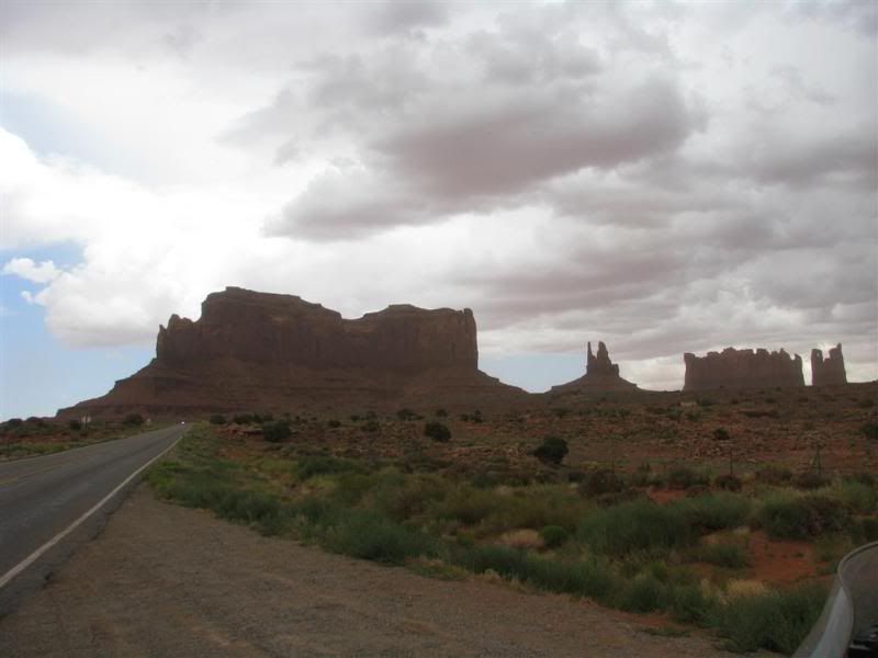
Let me describe the route by mentioning the highlights:
March 1st
I might reverse the route (from NY direction Keys, then direction Texas, up north and than back east) and start in May that way I'll be in the south when the temperature is still ok, and the holiday season is not fully underway. Travel period will be May-June-July
The map will be changed soon
Just for kix, I counted the states that I'll pass through on this trip: 27 + 4 Canadian states.
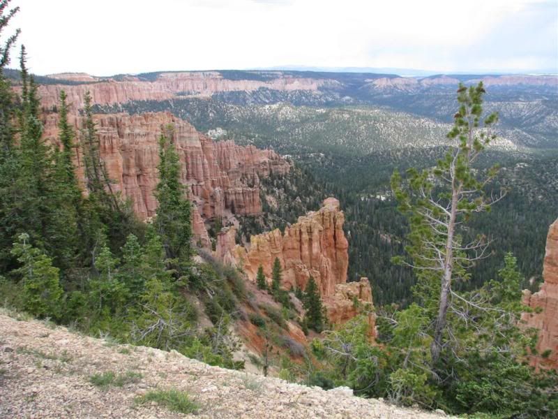
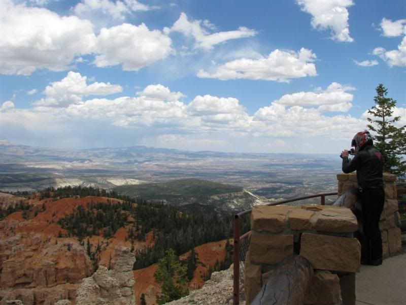
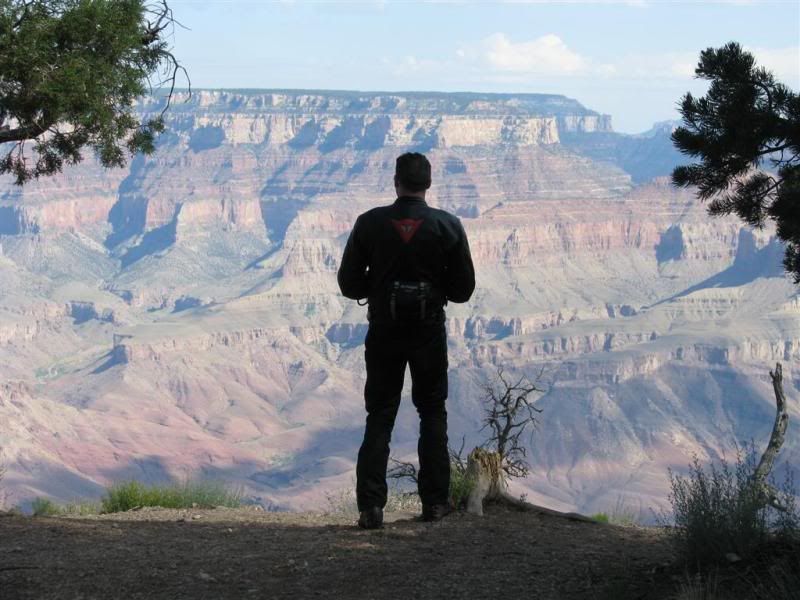
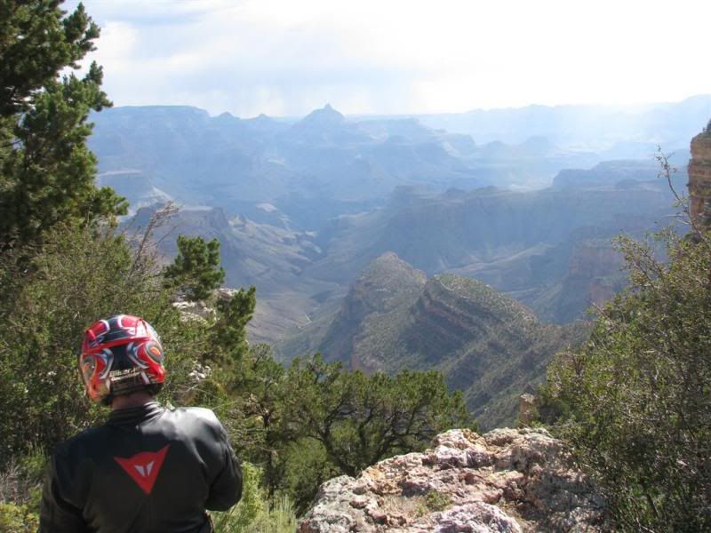
I'm pretty stoked about the plan, and the route seems very nice to me. Nothing is really fixed, but some things I'd really like to see. Some is tourist stuff, but I am a tourist and when I'm close to Mount Rushmore (Deadwood was my 1st goal), I'd better go up and see what the fuzz is all about. Yellowstone is something I think is stunning to see. Nova Scotia and the Cabot Trail looks so nice, so I think I should go there. Same for Niagra Falls.
So, are there any must-sees around this route? Something I missed?
While I planned to go for hotels/motels, I'm now starting to think that I might bring my little tent with me. Is that a good idea? I'm not a real camper, and I don't really want to carry all the stuff with me that you need when you go camping. It adds so much to you luggage. How is camping in the US? I have a very small and easy to raise tent (sort of umbrella-typ quick release) and I could take a simple gas stove to make some coffee or heat a can of soup, but I don't want to carry a complete cooking set. Too much hassle for me...
Any tips for paper maps? I have a Garmin Z??mo 660, but paper maps are always handy if somebody needs to show me something. And since I don't want to plan the entire trip, I sometime might want to navigate with a real map. In Europe you take the Michelin maps. What are the maps I'll need for the US with enough detail for the smaller backroads which I like so much. I really don't want to experience the US by Interstate alone. Rand MacNally seems to be the map of choice. Locally maps should be available at tourist information/welcome centers
Like I already told in my introduction, I'm planning a road trip around the US in 2012 on my own bike. I'm going to ship it from Holland to New York and ride around for 3 months (july-august-september). It's always been my dream to ride the US on a bike, and I did it in 2000 on a HD for 3 days on R66 (I know...
). But I want more, and especially not be confined by a couple of weeks. You end up seeing not very much and spend a lot of money anyway. Renting is not an option. Renting a bike for 4 weeks costs as much as shipping my own bike back and forth, including insurance (which is insanely expensive for the US!). I found out that insurance can be arranged directly with an American company Fernet for a more reasonable price than I got previously. It's still way more expensive than the $50 I pay here in Holland for an entire year of liability. I realize however, that the US is a bit different and I need to be properly insured in case something happensSo...that's the background. I don't want to overplan this trip. I need some kind of plan obviously, but I want to have the liberty to deviate of that. What I did over the past few weeks, is plotting points on the map and now I made a route in Mapsource just to see how long the route is. That is something I need to know approximately to prevent over-enthousiastic planning. I first came up with 27,000km, which might be a bit optimistic. I cut down the route to some 20,000km. This seems right for a 90 day trip. I did a trip back and forth to Morrocco and that was 7800km in 3 weeks. Remember the route is just a rough outline of the areas that I want to visit. It is subject to change over time and during the trip. By setting the basic route to 20,000km, I have room to stay somewhere for a couple of days and/or go somewhere else.
This is the route that I made with Mapsource:
Let me describe the route by mentioning the highlights:
- start from New York (Newark)
[DITCHED]Visit Long Island and see The Hamptons - Follow the coastline up to Plymouth and see where the Mayflower landed (my father had a boat called the Mayflower, an American Yacht as it happens)
- Follow the coastline further up to Nova Scotia, do a round over the Cabot Trail
- Go through Canada to Quebeck, Montreal, Niagra Falls
- Enter the US again, go to Michigan visit an old friend in Grand Ledge
- Go up in direction of Lake Superior, then West direction Duluth
- Set off to the West, to Mount Rushmore and Deadwood in Dakota
- Yellowstone Park
- Go south to Denver, Colorado (family visit)
- To Texas, Big Bend
- Explore Texas, using some info from the Lone Star Trail RR.
- Drive through Louisiana,Mississippi, Alabama
- Go through Florida, to the Keys
[DITCHED]From the Keys back up to Newark, following the coastline
[DITCHED]Pass through Delaware, instead of visiting Washington (I've seen the pictures)
[*]Drive back up through FLA, direction Blue Ridge Mountains and whatever comes in between. Coastline doesn't seem to be interesting. - Put the bike on a boat
- Take a plan back home
- Wait a couple of weeks for my bike to arrive
March 1st
I might reverse the route (from NY direction Keys, then direction Texas, up north and than back east) and start in May that way I'll be in the south when the temperature is still ok, and the holiday season is not fully underway. Travel period will be May-June-July
The map will be changed soon
Just for kix, I counted the states that I'll pass through on this trip: 27 + 4 Canadian states.
I'm pretty stoked about the plan, and the route seems very nice to me. Nothing is really fixed, but some things I'd really like to see. Some is tourist stuff, but I am a tourist and when I'm close to Mount Rushmore (Deadwood was my 1st goal), I'd better go up and see what the fuzz is all about. Yellowstone is something I think is stunning to see. Nova Scotia and the Cabot Trail looks so nice, so I think I should go there. Same for Niagra Falls.
So, are there any must-sees around this route? Something I missed?
While I planned to go for hotels/motels, I'm now starting to think that I might bring my little tent with me. Is that a good idea? I'm not a real camper, and I don't really want to carry all the stuff with me that you need when you go camping. It adds so much to you luggage. How is camping in the US? I have a very small and easy to raise tent (sort of umbrella-typ quick release) and I could take a simple gas stove to make some coffee or heat a can of soup, but I don't want to carry a complete cooking set. Too much hassle for me...
Any tips for paper maps? I have a Garmin Z??mo 660, but paper maps are always handy if somebody needs to show me something. And since I don't want to plan the entire trip, I sometime might want to navigate with a real map. In Europe you take the Michelin maps. What are the maps I'll need for the US with enough detail for the smaller backroads which I like so much. I really don't want to experience the US by Interstate alone. Rand MacNally seems to be the map of choice. Locally maps should be available at tourist information/welcome centers
Last edited:


 Going north first is a good idea if you donÔÇÖt start until July. We can get snow in the Rockies starting the beginning of September, and perhaps by then the south will have cooled a little.)