kbasa
Well-known member
I'll admit it. I can't figure Basecamp out. I work with software for a living, but Basecamp is something I don't grok well. As a result, I've had a couple GPSs laying on my desk, unused. It was just too much hassle. I just used Waze or Maps or something on my phone.
I have the BMW Connected App and really dig it, so I was curious about how to build routes easily. And opening Basecamp and looking at it just wasn't gonna happen.
My friend Rob visited in April. Rob's a former IBR rider and sailor, so navigation is a thing he knows inside out. When he was here, he shared with me his method for making new .gpx files.
You're going to need a couple things and we're going to use a couple websites. I use Apple products, so I'm going to use AirDrop to move files around. If you use other operating systems, I presume you know how to move files from one device to another.
First up, you're going to need a few things:
Start at this page: https://developers.google.com/maps/documentation/embed/get-api-key
You're going to need to have a google account already so you can get signed in. Follow the steps outlined on the page and you'll get a long "key". Copy it and store it in a text file in case you lose it.
Step 2: Head over to www.googlemaps.com and make yourself a route.
It's an easy way to create a route, just use the little dialog box to build it, then save it, then copy the url. I've made a route from Elko, NV to Durango, CO and I used drag and drop to change the route Google proposed. Just click on the route and drag it to the road you'd prefer to use. Using the dialog box in the upper left, you can add additional stops or reorder them.
When you've got it where you'd like it, click the blue Copy Link button. Make sure you see a confirmation. Sometimes I have to click it twice.

Step 3: Head over to GPS Visualizer at: https://www.gpsvisualizer.com/convert_input?convert_format=gpx
I had to muck around with some of the settings, but this seems to work well enough that I've quit experimenting.

Hit the "show advanced options" bar and you'll get this. Set yours up like this.

Step 4: Convert your file, transfer and import
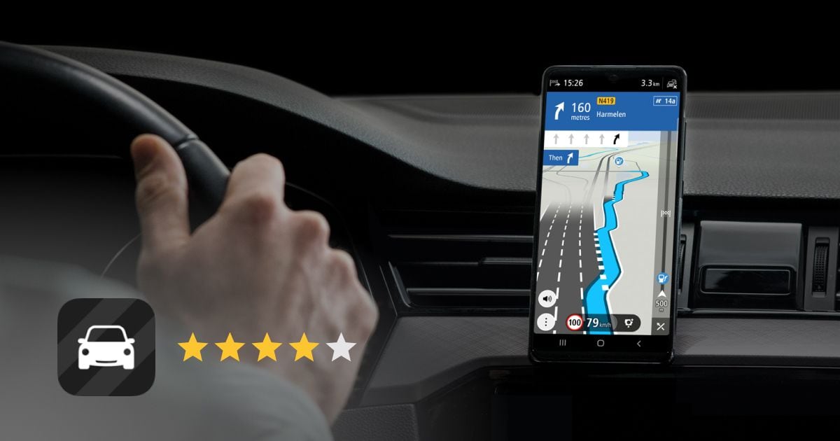
Ok. All set? Hit that convert button now and you'll get to wait a few seconds until you're presented with a download. When it's done, you'll get redirected to this page where you can download your file. I use Apple devices, so I do this on my Mac and just airdrop the file over to my iPhone. From there, I open BMW Connected Ride and import it. You might have to fish around on your phone to find the gpx, but once you do, it should import readily into BMW CR.

Ride well, ride often. I hope this helps someone else that isn't willing to deal with Basecamp create routes and import them into the devices they like. I suppose you could use Basecamp to load this to your GPS, but I'll leave that to someone else for now.
I have the BMW Connected App and really dig it, so I was curious about how to build routes easily. And opening Basecamp and looking at it just wasn't gonna happen.
My friend Rob visited in April. Rob's a former IBR rider and sailor, so navigation is a thing he knows inside out. When he was here, he shared with me his method for making new .gpx files.
You're going to need a couple things and we're going to use a couple websites. I use Apple products, so I'm going to use AirDrop to move files around. If you use other operating systems, I presume you know how to move files from one device to another.
First up, you're going to need a few things:
- A google account. If you have a gmail account, you're set.
- A map you've created in Google Maps. Use the web page, not the app. You're going to copy the URL and a browser makes this way easier.
- A Google API Key. This is a code you're going to get from google that will let the next product read your map
- The GPS Visualizer converter page
- Some kinda thing that reads and shows you a .gpx GPS, BMW Connected Ride, whatevs
Start at this page: https://developers.google.com/maps/documentation/embed/get-api-key
You're going to need to have a google account already so you can get signed in. Follow the steps outlined on the page and you'll get a long "key". Copy it and store it in a text file in case you lose it.
Step 2: Head over to www.googlemaps.com and make yourself a route.
It's an easy way to create a route, just use the little dialog box to build it, then save it, then copy the url. I've made a route from Elko, NV to Durango, CO and I used drag and drop to change the route Google proposed. Just click on the route and drag it to the road you'd prefer to use. Using the dialog box in the upper left, you can add additional stops or reorder them.
When you've got it where you'd like it, click the blue Copy Link button. Make sure you see a confirmation. Sometimes I have to click it twice.
Step 3: Head over to GPS Visualizer at: https://www.gpsvisualizer.com/convert_input?convert_format=gpx
I had to muck around with some of the settings, but this seems to work well enough that I've quit experimenting.
- Paste your link to your route in the smaller box where it says "Or provide the URL of a file on the web". That's you.
- Next, paste your Google API key into the box below.
- Don't hit that Convert button yet. We've got a couple more things to set.
Hit the "show advanced options" bar and you'll get this. Set yours up like this.
Step 4: Convert your file, transfer and import
Ok. All set? Hit that convert button now and you'll get to wait a few seconds until you're presented with a download. When it's done, you'll get redirected to this page where you can download your file. I use Apple devices, so I do this on my Mac and just airdrop the file over to my iPhone. From there, I open BMW Connected Ride and import it. You might have to fish around on your phone to find the gpx, but once you do, it should import readily into BMW CR.
Ride well, ride often. I hope this helps someone else that isn't willing to deal with Basecamp create routes and import them into the devices they like. I suppose you could use Basecamp to load this to your GPS, but I'll leave that to someone else for now.
Last edited: