• Welcome, Guest! We hope you enjoy the excellent technical knowledge, event information and discussions that the BMW MOA forum provides. Some forum content will be hidden from you if you remain logged out. If you want to view all content, please click the 'Log in' button above and enter your BMW MOA username and password.

    If you are not an MOA member, why not take the time to join the club, so you can enjoy posting on the forum, the BMW Owners News magazine, and all of the discounts and benefits the BMW MOA offers?

  • Beginning April 1st, and running through April 30th, there is a new 2024 BMW MOA Election discussion area within The Club section of the forum. Within this forum area is also a sticky post that provides the ground rules for participating in the Election forum area. Also, the candidates statements are provided. Please read before joining the conversation, because the rules are very specific to maintain civility.

    The Election forum is here: Election Forum

Northwest Motorcycle Trip

burnszilla

New member
I rode 2600 miles in 4 days.
Day 1: Los Gatos, CA to Portland, OR
Day 2: Portland, OR to Winthrop, WA
Day 3: Winthrop, WA to Enterprise, OR
Day 4: Enterprise, OR to Los Gatos, CA (920 miles)

See All Trip Photos Here
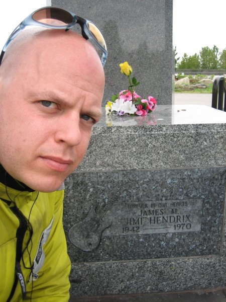
Jimi and I.
IMG_0401.JPG


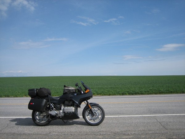
Middle of Washington.
IMG_0434.JPG


454 Big Block Trike, Colfax, WA.
IMG_0453.JPG


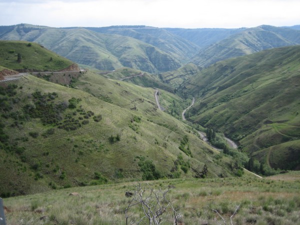
Rattlesnake Pass, OR.
IMG_0460.JPG


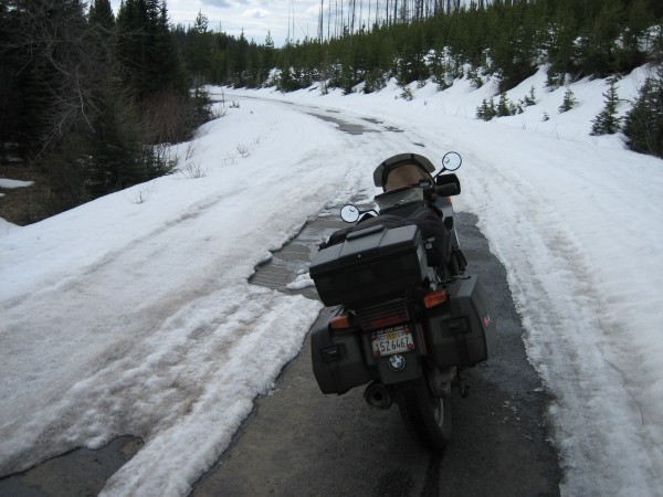
Bad way to start the day. Trying to get thru Hell's Canyon. Looks like Hell froze over. After riding over/thru 5 long patches of 2ft of snow I turned around. I was tired and sweaty.
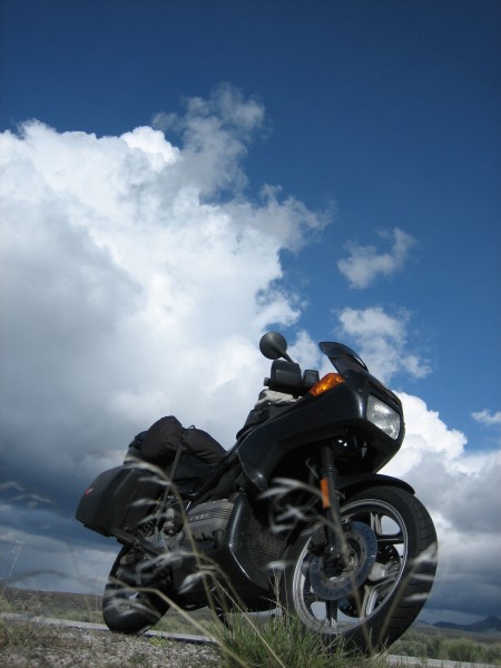
IMG_0499.JPG


Hwy 395, OR.
IMG_0511.JPG
 
Power touring, I'd say

Thanks for the tour. Nice pics on your website.

Jim
Basic Truth: 'Nobody doesn't like a K75.'
 
I enjoyed the pics of your trip. It's a nice part of the world riding-wise, and my friend from Hillsboro OR and I will be riding up there towards the end of May, which motivates me to ask: on what road did you run into snow?

We're thinking about Lewiston -> Enterprise -> Joseph -> Halfway, with the last part on Forest Service road 39 which runs north-to-south along the west side of Hells Canyon. I really liked that road when I was last there fall 03. It'd be considerably less attractive if it were snowy.
 
The snowy road was Wallowa Mountain Rd. The snow appeared at 5400 feet elevation at the first summit. The second summit was at 6000 ft! After I turned around I stopped at the Shell Station in Enterprise, the old guy there told me I could have drove up to Inmaha and turned down a gravel road which would have taken me down to a gravel road which ran along the river at lower elevation with no snow. I had already wasted 2 hours pushin' my bike thru snow and just wanted to get home. If I had a GPS or some detailed maps I would have done it. Also a GS would have helped too.
 
Burnszilla said:
The snowy road was Wallowa Mountain Rd. The snow appeared at 5400 feet elevation at the first summit. The second summit was at 6000 ft! After I turned around I stopped at the Shell Station in Enterprise, the old guy there told me I could have drove up to Inmaha and turned down a gravel road which would have taken me down to a gravel road which ran along the river at lower elevation with no snow.

See... I told you that gravel is not necessarily a bad thing. :) FWIW, that road heading down to the river is *bumpy*

Just got finished talking with a friend who did a 4-Corners tour the same time you were out riding. He got caught in snow and ice, too.

Honestly, I am sorta embarrassed for pointing you at a snowy road... I actually thought about that but thought there'd be no way the roads would still be covered at this time of year.

Please do try that road the next time you're out that way... you surely won't forget it.

Ian
 
dbrick said:
I enjoyed the pics of your trip. It's a nice part of the world riding-wise, and my friend from Hillsboro OR and I will be riding up there towards the end of May, which motivates me to ask: on what road did you run into snow?

We're thinking about Lewiston -> Enterprise -> Joseph -> Halfway, with the last part on Forest Service road 39 which runs north-to-south along the west side of Hells Canyon. I really liked that road when I was last there fall 03. It'd be considerably less attractive if it were snowy.

It should be fine by then.
 
Thanks!

Cool ride report; your selection of photos are really what road trips are about. Thanks for the vicarious ride. :thumb
 
Back
Top