Guys and gals:
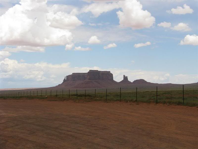
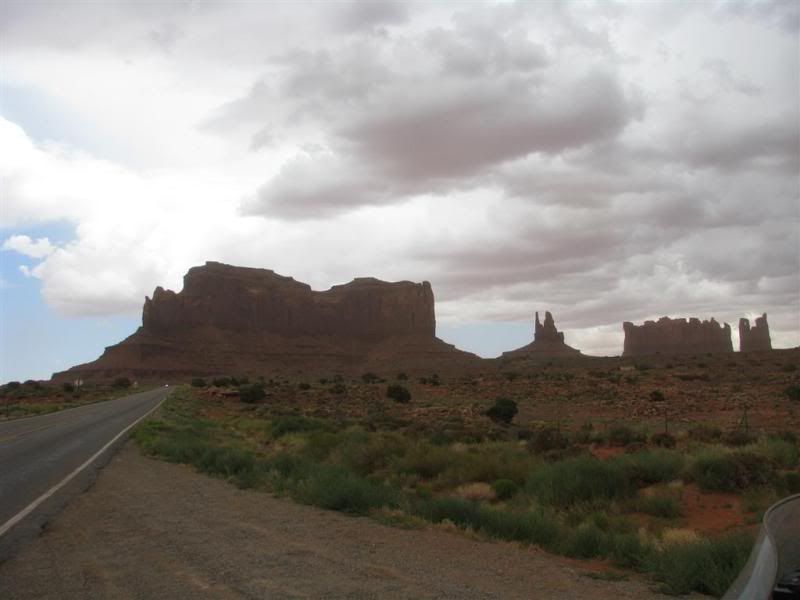
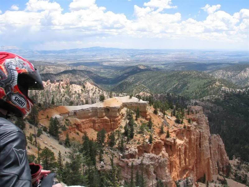
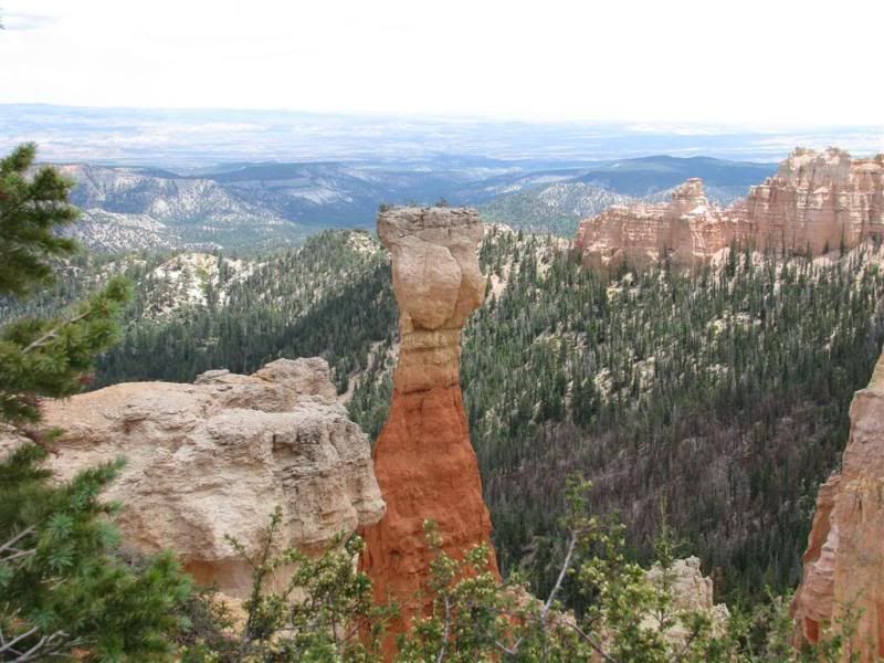
I am planning a southwest trip this summer... Never been to these states before. I am a part time photographer and love to shoot interesting places. Any ideas for a trip like this. It will be about 2 weeks duration. Getting ready to break in the butt for marathon rides on my new to me 1100RT right now! I have a GPS to help with navi so if you have waypoints or coordinates,thanks in advance!
Perry Brokaw


")


