sfarson
New member
There is a fine high country unpaved road connecting two great riding roads. It isn't uncommon for the ride-for-the-road connoisseur to make menu plans for the Cache La Poudre - North Park Scenic Byway (CO 14) and then make the second course a southward transit on the sublime CO 125 over Willow Creek Pass. Or vice versa.
Of course one can continue north on both roads for a refill, refuel, or relieve stop in Walden. If not wanting or needing any of the preceding, then one can be treated to a 14 mile linking cutoff ride circling through a few serious ranches and climbing high to this-is-how-the-Utes-saw-it views of North Park down below. Most any street bike can make this in dry conditions, and a dual-sport would thrive here.
Here's the map...

If you want to move through the setting, a three minute vid...
http://youtu.be/Qgb_oD-JNvg
OK, you have ridden west on CO 14 along the crashing white water of the Poudre River, also ascending and descending the Continental Divide at Cameron Pass. 70 miles, zero stoplights. North of Gould a few miles look for Jackson County 27 (the cutoff) leading west. As a Wing passes, note the sign pointing the way to Rand. Can also see on the far left the road through the forest...

Here is the pause before North Park. The Arapahoe National Wildlife Refuge is in the distance. This is also Moose country. Except for the road base under the idling GS, one would be challenged to note anything changed since the Utes probably paused here on their ponies, surveying their domain...

Cottony clouds hang suspended as if on some kind of invisible line. That's the Rabbit Ears Range in the distance. Not a bad two wheeled traverse...

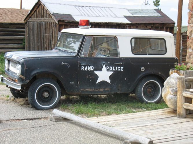
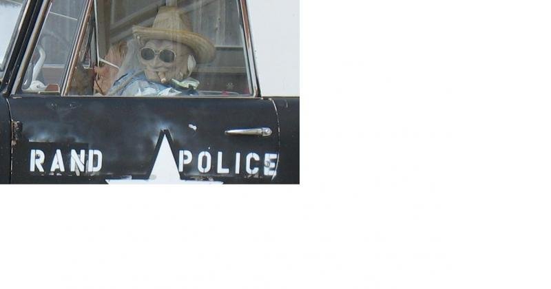
Here's the Rand store, open Thurs-Sun. A fine stop for a light lunch, a browse of books and crafts, and a reflection or two of the big space and big solitude. The vid concludes with the arrival here...

Of course one can continue north on both roads for a refill, refuel, or relieve stop in Walden. If not wanting or needing any of the preceding, then one can be treated to a 14 mile linking cutoff ride circling through a few serious ranches and climbing high to this-is-how-the-Utes-saw-it views of North Park down below. Most any street bike can make this in dry conditions, and a dual-sport would thrive here.
Here's the map...
If you want to move through the setting, a three minute vid...
http://youtu.be/Qgb_oD-JNvg
OK, you have ridden west on CO 14 along the crashing white water of the Poudre River, also ascending and descending the Continental Divide at Cameron Pass. 70 miles, zero stoplights. North of Gould a few miles look for Jackson County 27 (the cutoff) leading west. As a Wing passes, note the sign pointing the way to Rand. Can also see on the far left the road through the forest...
Here is the pause before North Park. The Arapahoe National Wildlife Refuge is in the distance. This is also Moose country. Except for the road base under the idling GS, one would be challenged to note anything changed since the Utes probably paused here on their ponies, surveying their domain...
Cottony clouds hang suspended as if on some kind of invisible line. That's the Rabbit Ears Range in the distance. Not a bad two wheeled traverse...
Here's the Rand store, open Thurs-Sun. A fine stop for a light lunch, a browse of books and crafts, and a reflection or two of the big space and big solitude. The vid concludes with the arrival here...

 I'm sure I wouldn't be able to think that fast. Good one, Ian.