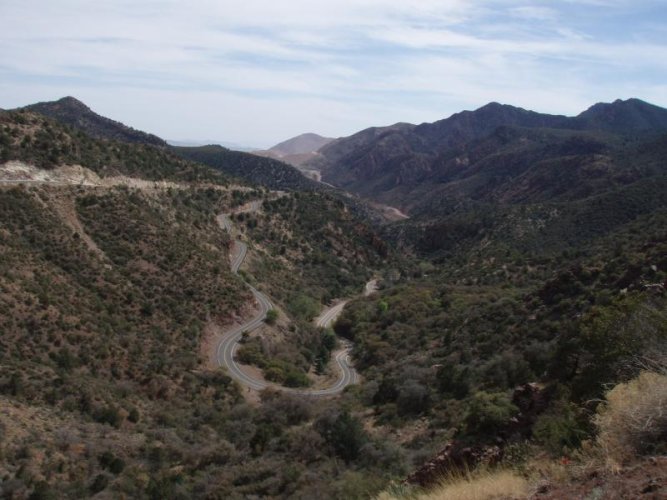
I have ridden this many times. It is known as the "Coronado Trail" not Devils Highway. The explorer Coronado used this route on his way North. You are able to read your own license plate if you go fast enough. Think about it!
Jack
Quite right, Jack. When I first heard about it, it was still labeled 666, and nicknamed the Devil's Hwy. I've always thought of it that way as a result, and only later learned it was properly called the Coronado Trail. My bad... this road deserves no disrespect.

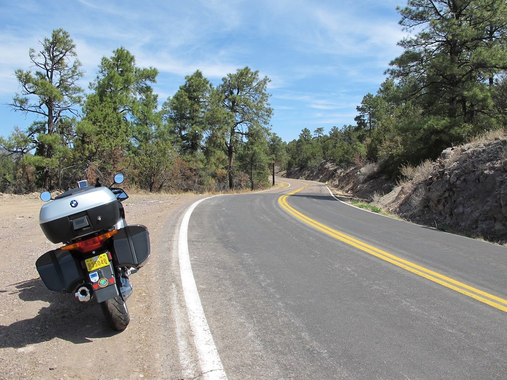
if you're not afraid of a little sandy road riding, there is an awesome road that goes from Lake Roosevelt to Apache junction that you could ride on the way back.
ian
.
Ian, thanks for this tip. I had the pleasure of taking AZ 88, the "Apache Trail" from Roosevelt to Apache Junction today (somewhat unfortunately in my car, not my bike), and I would have to say it is the most impressive 44 miles of awesome scenery I have ever travelled. If I had my GS, it would have been heaven. As it is, I'm planning a return trip on my RS on the paved portion, from Apache Junction to at least as far as Tortilla Flats. No disrespect on your video clip, but there's no way any camera can do this road justice.